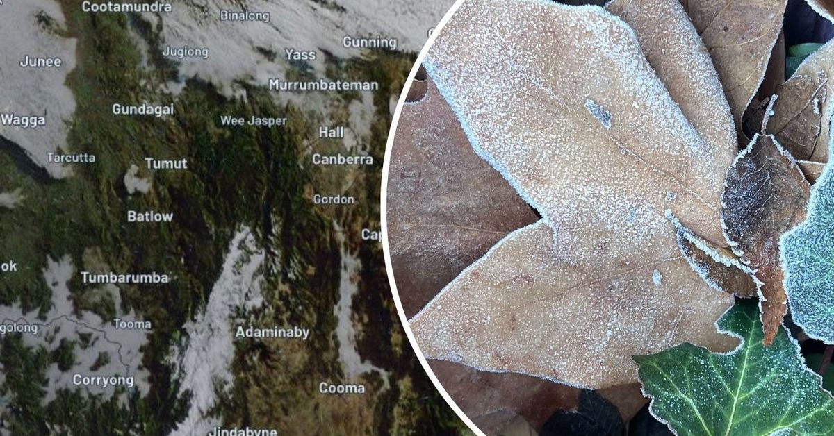
June has brought an exceptionally cold start to winter in parts of New South Wales (NSW), marking the chilliest first month of the season in almost two decades. Canberra is experiencing its coldest June nights in memory, with average minimum temperatures plummeting to -2.5 degrees. The latter part of the month is forecasted to remain frigid, with temperatures possibly dipping below -3 degrees.
In Canberra, the combined average of daytime highs and nighttime lows has been recorded at just 5 degrees—the coldest June since records began in 1939. Similarly, Cooma in southern NSW has faced extremely cold nights, with average minimums at Cooma Airport dropping to -3.5 degrees, the lowest June figure since 1991. In Goulburn, temperatures have also been notably low, averaging just 6.2 degrees, closely trailing Canberra’s figures.
The icy conditions are set to continue into the final night of June, with temperatures forecasted to stay low, challenging existing records. However, relief may be on the horizon as easing conditions are anticipated along the eastern NSW coastline due to a developing humid easterly airstream. Central and western parts of NSW, however, are likely to remain cold.
Looking ahead, Canberra is bracing for more icy nights, with forecasts predicting minimums plummeting to -4 degrees by the end of next week. On the other hand, Melbourne is expected to be a touch warmer, with weekend highs reaching around 15 degrees.
The ongoing winter blast is expected to be accompanied by strong gusts of wind, potentially reaching speeds of up to 100 km/h. Rainfall totals in some regions could accumulate to 300mm, raising concerns about possible flooding.