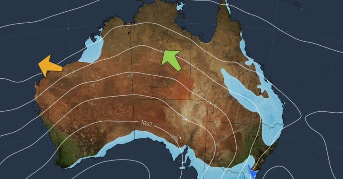
A significant cold front is set to impact southeastern Australia starting tomorrow, ushering in a wintry mix of snow, strong winds, and markedly lower temperatures, marking a stark shift from the unusually warm autumn experienced recently. The region has already witnessed heavy rainfall, with parts of Victoria and New South Wales recording their wettest days in May for years.
Beginning tomorrow and continuing through Thursday, a stronger weather front will bring frigid air, resulting in the coldest conditions of the season thus far. Rain has already doused many areas, particularly in the Snowy Mountains and central western regions, with Thredbo Top Station experiencing a record-breaking 106mm of rain in just 24 hours.
In the lead-up to the cold front, showers have persisted in eastern regions, including Sydney, and the colder air is predicted to intensify from Thursday, with snowfall expected across higher elevations and possibly reaching the tablelands. While Sydney is not anticipated to see the worst of the chilly air, temperatures are projected to reach a high of only 18 degrees, while Canberra may only manage 10 degrees, with frost likely as the weekend approaches.
The storm system is projected to bring further widespread rainfall, notably in the alpine districts where heaviest falls were recorded, with places like Mount Hotham receiving over 80mm in 24 hours. Other areas in central and western districts have also reported their highest May daily totals in years. Concurrently, Melbourne’s streak of mild weather, with temperatures often exceeding 20 degrees recently, is about to end, as Thursday’s forecast suggests a maximum of only 12 degrees.
The chill is not limited to the mainland, as Tasmania too braces for colder conditions with Hobart expected to reach just 13 degrees and snow anticipated on higher ground. Although Tasmania has seen several snowfall events this autumn, the upcoming system is expected to deliver another round of wintry weather.
As the front moves across the southeast, residents can expect a blend of showers, small hail, and strong winds, alongside snow possibly falling as low as 900 metres altitude, with alpine resorts in Victoria and New South Wales forecasted to receive up to 20cm of snow. However, the snowfall is likely to be short-lived, as conditions are expected to settle before the traditional ski season launches in early June.
This impending cold outbreak is shaping up to be the most powerful yet this autumn, providing a notable shift in conditions for the region as the seasons change.