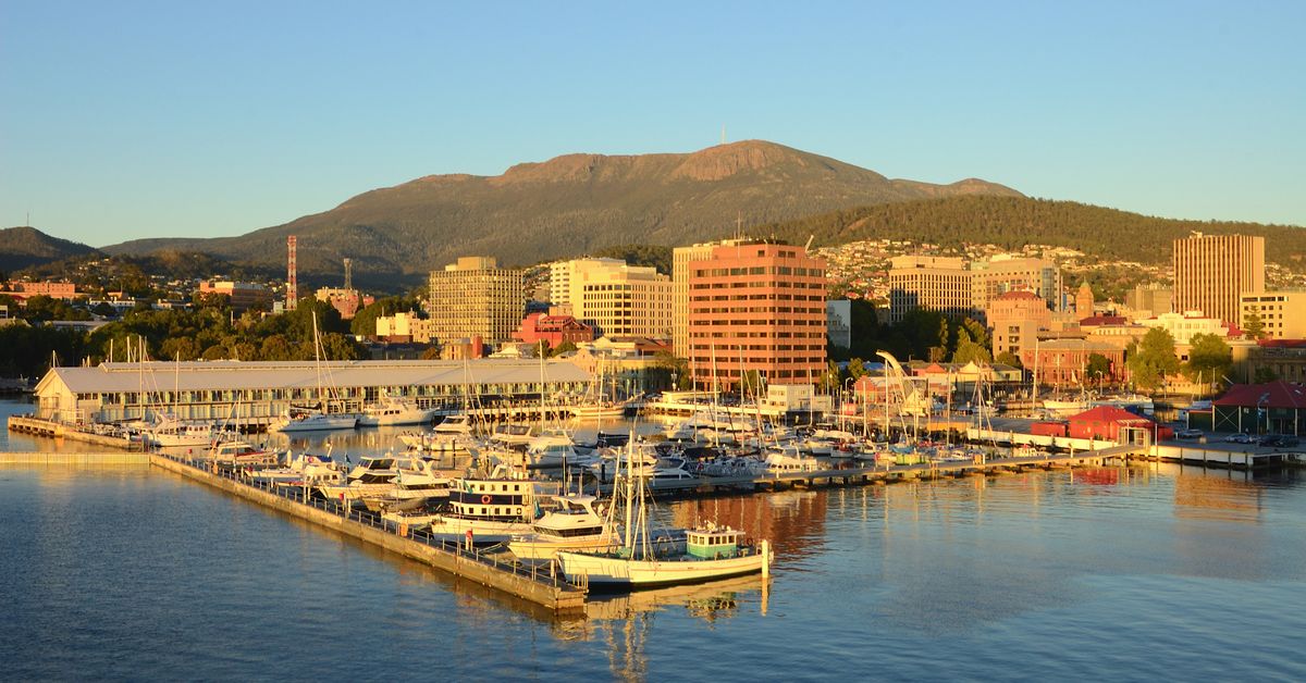
Three Australian states have recently shattered May temperature records, with Hobart, Tasmania, achieving a remarkable milestone by surpassing a 144-year-old record. On this historic day, Hobart recorded a scorching 26.9 degrees Celsius just after 3 PM, exceeding its previous high of 25.7 degrees and far surpassing the average May maximum of 14.6 degrees.
This unusual warmth was partly attributed to warm north-westerly winds, which also led to significant heat records across Victoria. Over 20 weather stations in the state reported record-breaking temperatures, including Avalon, located in Melbourne’s west, which hit 29.3 degrees at 1:02 PM, surpassing its prior record of 28 degrees. Additionally, Warrnambool in south-west Victoria experienced a maximum of 28.3 degrees that same afternoon.
New South Wales also joined in by breaking its own May heat records. Deniliquin reached 28.5 degrees, just nudging above the previous mark of 28 degrees, while Hay reported a new high of 29.2 degrees, narrowly exceeding the former record of 29.1 degrees. Ivanhoe also set a new benchmark at 29.5 degrees, beating the old record by a small margin.
However, residents should brace themselves for a change in the weather, as a low-pressure system is anticipated to sweep across parts of Australia, bringing rain, gusty winds, and thunderstorms until at least mid-next week. A cold front is expected to move into Victoria late today, heralding cooler temperatures.
The incoming system will traverse through Bass Strait or southern Victoria on Monday, leaving behind a cool south-westerly airflow, according to the Bureau of Meteorology. New South Wales will also see this same system moving through, particularly affecting southern inland regions with unsettled weather.
In the Australian Capital Territory, predominantly cloudy days and the potential for showers are on the horizon for next week. Coastal showers in Queensland are predicted to persist at least until Tuesday, influenced by a high-pressure system near New Zealand.
South Australia is set to experience isolated showers due to a cold front impacting various parts of the state, while Western Australia’s southern regions are likely to see both showers and the possibility of thunderstorms in the west. Meanwhile, a weather trough in the Northern Territory’s south-west is expected to progress towards the Simpson District later today.
Alongside the warm temperatures recently experienced, Tasmania can also look forward to potential showers until at least Tuesday. As Australia grapples with these extreme weather patterns, residents are encouraged to stay informed and prepared.