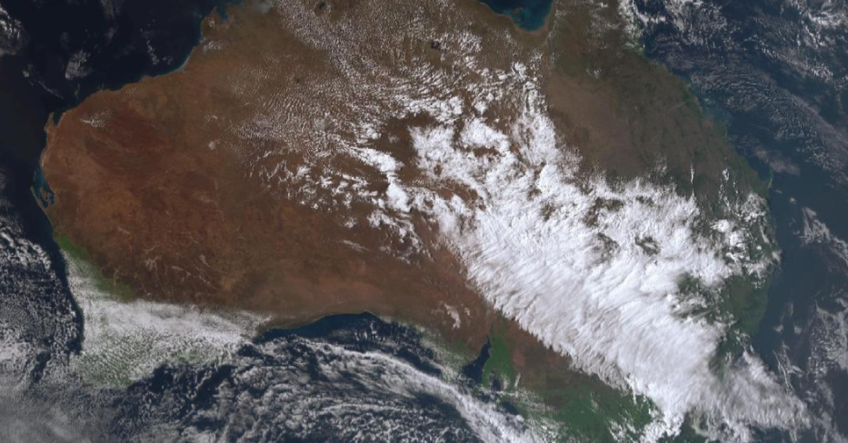
Severe weather is imminent as large hailstones and strong winds are set to impact several eastern states in Australia. A cold front moving across the Great Australian Bight is bringing thunderstorms, showers, and gusty winds stretching from southern Queensland down to Tasmania, potentially affecting parts of central Australia and northern South Australia.
The Bureau of Meteorology has issued severe weather warnings for regions including southern New South Wales, parts of Melbourne, the Mornington Peninsula in Victoria, and southern Tasmania. Wind gusts are expected to average between 55 km/h and could peak at 100 km/h, raising concerns about significant damage, including downed trees and property destruction, according to Senior Meteorologist Miriam Bradbury.
Melbourne Airport has already recorded gusts of 80 km/h, while Hobart experienced winds up to 100 km/h overnight. As the storm system progresses, residents may also face the threat of hailstones ranging from 2 cm to 4 cm, particularly in northern New South Wales and southeast Queensland.
Authorities advise those in affected areas to avoid travel, secure loose items, and keep vehicles clear of trees. It is recommended to stay indoors and away from windows for safety. The cold front is expected to move offshore towards the Tasman Sea tomorrow; however, there remains a risk for storms and flash flooding in northeast NSW and southeast Queensland.
The possibility of severe storms persists, with Brisbane also expected to experience stormy weather. Locations in southern inland Queensland might see heavy rain alongside strong winds and hail, leading to potential flash flooding in some areas.
Overall, the combined impact of the weather system could result in public transport disruptions and power outages, heightening the need for residents to take caution as severe conditions develop across the region.