Parts of Australia are experiencing an extraordinary winter, with heavy snowfall transforming landscapes into picturesque scenes. This week, more snow, hail, rain, and gusty winds are anticipated across various regions.
In the past week, many areas enjoyed some of the best rainfall of the year, prompting Bureau of Meteorology’s Angus Hines to highlight a “promising follow-up” on the way. Today, a potent cold front is set to affect southern Western Australia and South Australia, bringing showery conditions and the potential for hail.
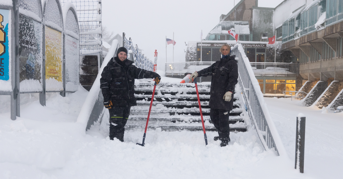
In the national southeast, rain is expected to ease, with forecasted falls ranging from 2mm to 10mm. Meanwhile, the northern regions of Australia are reverting to a typical dry season climate. Perisher, a popular ski resort in New South Wales, reported an impressive 20cm of new snow overnight, contributing to a total accumulation exceeding 40cm due to recent storms.
As the week unfolds, snow is predicted to persist. Tomorrow, a chill will sweep through New South Wales, South Australia, and southern Queensland, where sporadic rainfall is likely again, with totals of 2mm to 10mm expected over wide areas. Although conditions will improve on Wednesday, cold winds and occasional showers will linger.
With these weather patterns, residents in the south can anticipate intermittent light rain, particularly affecting areas along a line stretching from Perth to Port Macquarie. Thursday is anticipated to see clearer skies across much of the country, although eastern Victoria and New South Wales could still encounter some rain and snow showers.
As the week progresses into Friday, the southeast should prepare for increased showers and cool wind conditions, with the possibility of thunderstorms, albeit uncertain at this time. Looking ahead, another rain-bearing front is poised to impact the west coast as the weekend draws near, suggesting that this wintry spell is far from over.