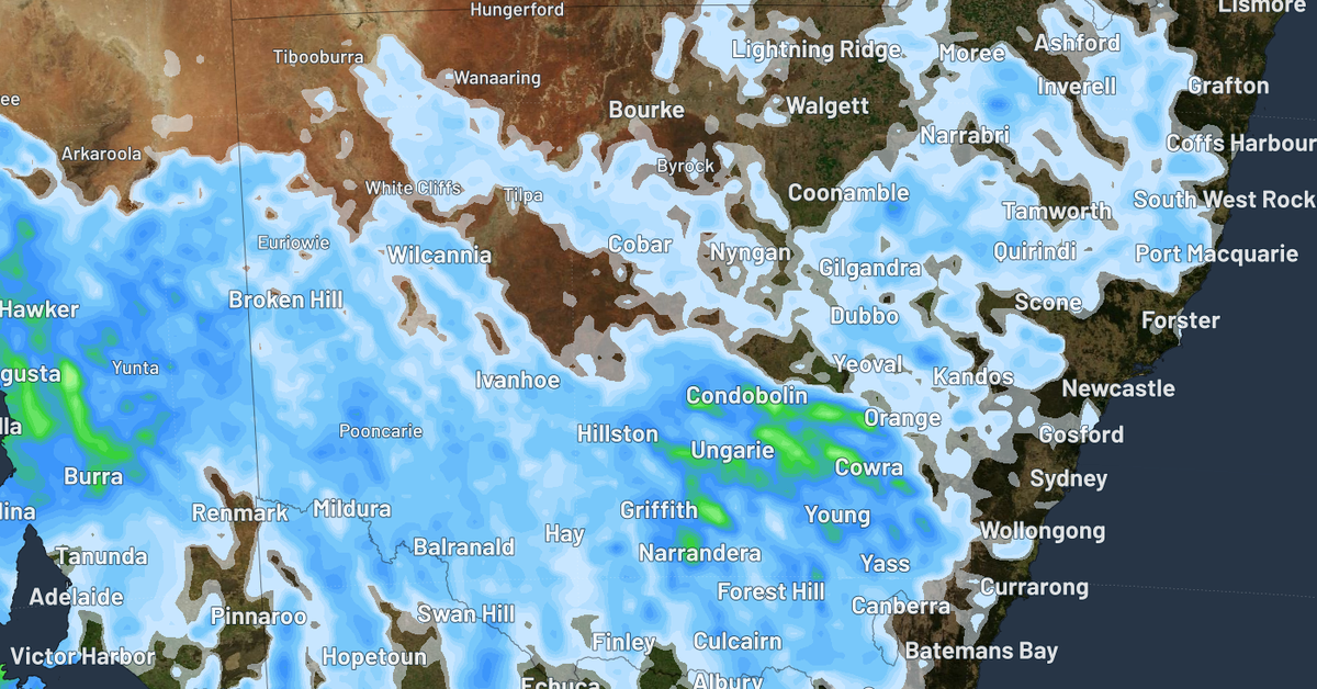
A pool of unstable cold air is set to trigger winter thunderstorms across New South Wales later today, as reported by Weatherzone. The Bureau of Meteorology has issued warnings for moderate to severe thunderstorms, predicting wind gusts of up to 20 km/h affecting the Central Coast, Sydney, and the south coast, including areas such as Newcastle and Wollongong.
Isolated storms are likely to emerge over central and eastern NSW, gradually spreading in an “erratic” manner towards the coastal regions. Residents in these areas should prepare for potential heavy rainfall, hail, and strong winds, as these storms are expected to be quite vigorous.
The arrival of cumulonimbus clouds, commonly associated with intense thunderstorms, indicates that such weather is unusual for winter. Following today’s storms, a calmer weather pattern is anticipated to set in tomorrow. However, conditions could remain stormy across the border in Victoria and South Australia, with further disturbances likely due to a low-pressure system over the southern ocean expected to bring storms by Tuesday and Wednesday.
In recent days, the region has experienced significant disruptions, including grounded flights, home evacuations, and widespread power outages. Fortunately, temperatures are predicted to rise, with the forecast suggesting pleasant winter weather returning to the city by Tuesday and highs of 18 degrees expected on Thursday and Friday.