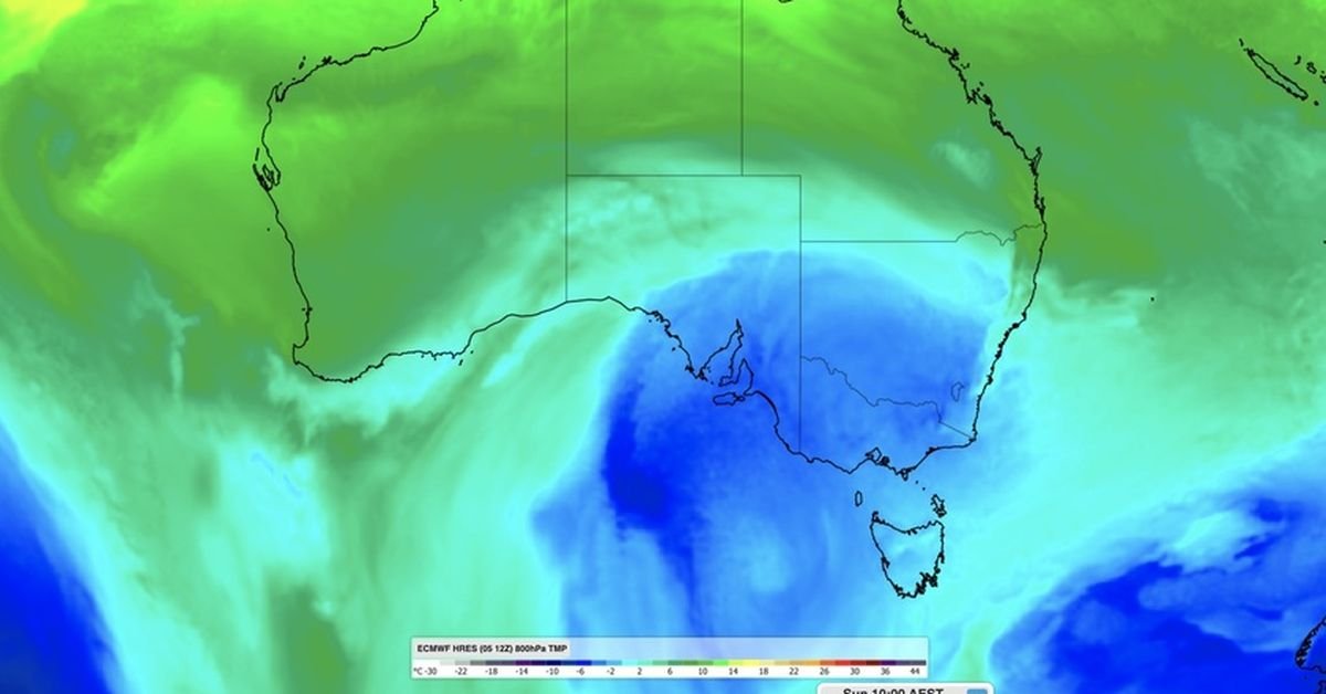
A chilly mix of thunderstorms, hail, and snow is on the horizon for the south-eastern states this long weekend. A low-pressure system is responsible for the influx of cool air across New South Wales, the ACT, Victoria, South Australia, and Tasmania, starting today and continuing through the King’s Birthday public holiday on Monday.
Weatherzone predicts significant rainfall and hail across various regions. The Bureau of Meteorology indicates that temperatures in Canberra could plunge below zero, potentially hitting just four degrees in Hobart, and a mild six degrees in both Adelaide and Melbourne. Sydney is expected to have slightly warmer conditions at eight degrees. The combination of clouds and wind will likely make it feel even colder than these forecasts suggest.
Heavy snowfall is anticipated in the mainland alpine areas beginning tomorrow and lasting through at least Tuesday. This weather system should generate sufficient natural snow to kick off the ski season in NSW, the ACT, and Victoria this winter. Mt Hotham is forecasting up to 60cm of snow, while Perisher expects around 2cm.
Conditions are predicted to intensify in the south-eastern states on Saturday, shifting northward on Sunday before gradually clearing on Monday. Conversely, the remaining states and territories are likely to experience predominantly dry weather over the long weekend.