Australia is bracing for a wet week, as a series of cold fronts is set to bring rain across all states and territories. The Bureau of Meteorology has warned of damaging winds, storms, and the possibility of snow in several regions.
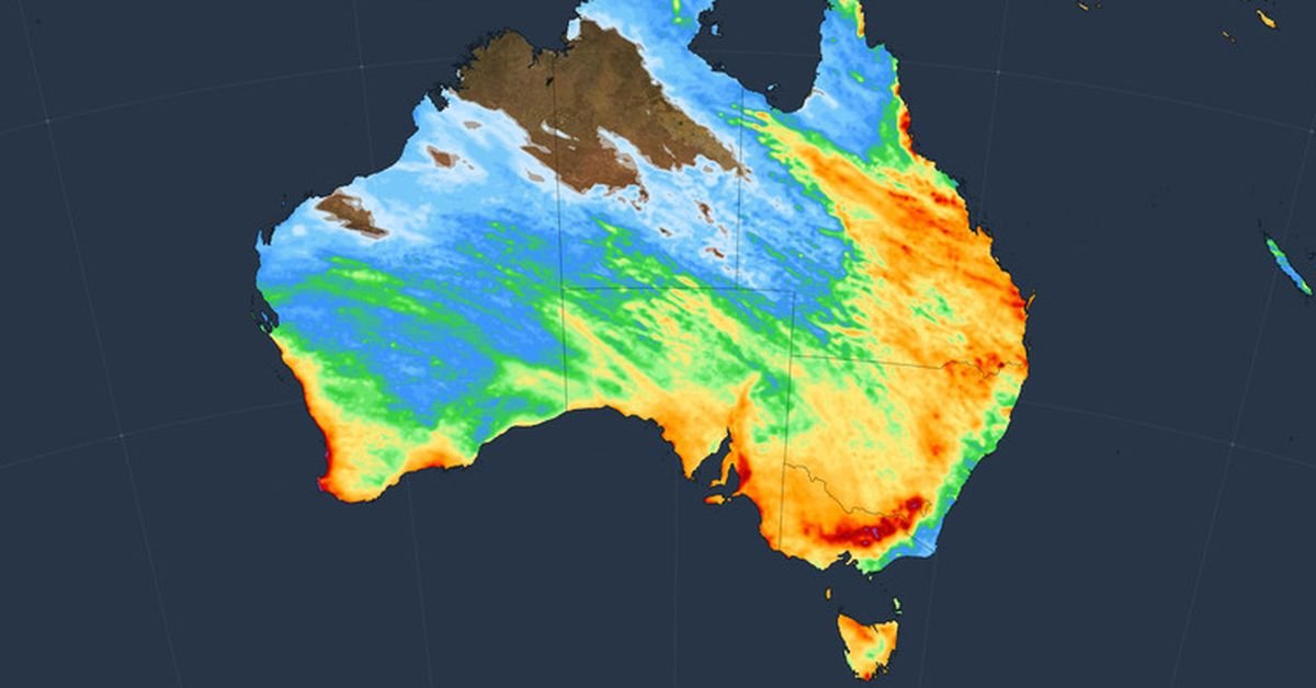
The first of these cold fronts made its way through Western Australia on Monday morning, resulting in cool, rainy, and blustery conditions. Following this, the front continued to South Australia and is now advancing towards the southeast. Weatherzone reports that significant rainfall and blustery winds will impact the southern half of the country between Monday and Wednesday due to this front and an accompanying low-pressure system.
Severe weather advisories have been issued for certain areas in South Australia and Victoria, highlighting the potential for damaging winds. Today and tomorrow, thunderstorms and rain are anticipated in New South Wales and Queensland, as the cold front interacts with a low-pressure trough situated in the east.
A second cold front is expected to sweep through Australia’s south-west on Tuesday, progressing eastward by the weekend. Forecasts indicate that this system may produce a large low-pressure area capable of drawing tropical moisture across the continent, leading to an extensive north-west cloud band that could result in significant rainfall across every state and territory later in the week.
In addition to rain, damaging winds are forecast for parts of southern Australia, accompanied by snow in alpine areas and even parts of southern Western Australia. The collective impact of this week’s weather patterns, including the cold fronts and low-pressure systems, is expected to result in substantial rainfall across most regions. As these weather systems move eastward, the majority of rain is likely to be concentrated on and west of the Great Dividing Range, making for a notably wet week ahead for Australians.