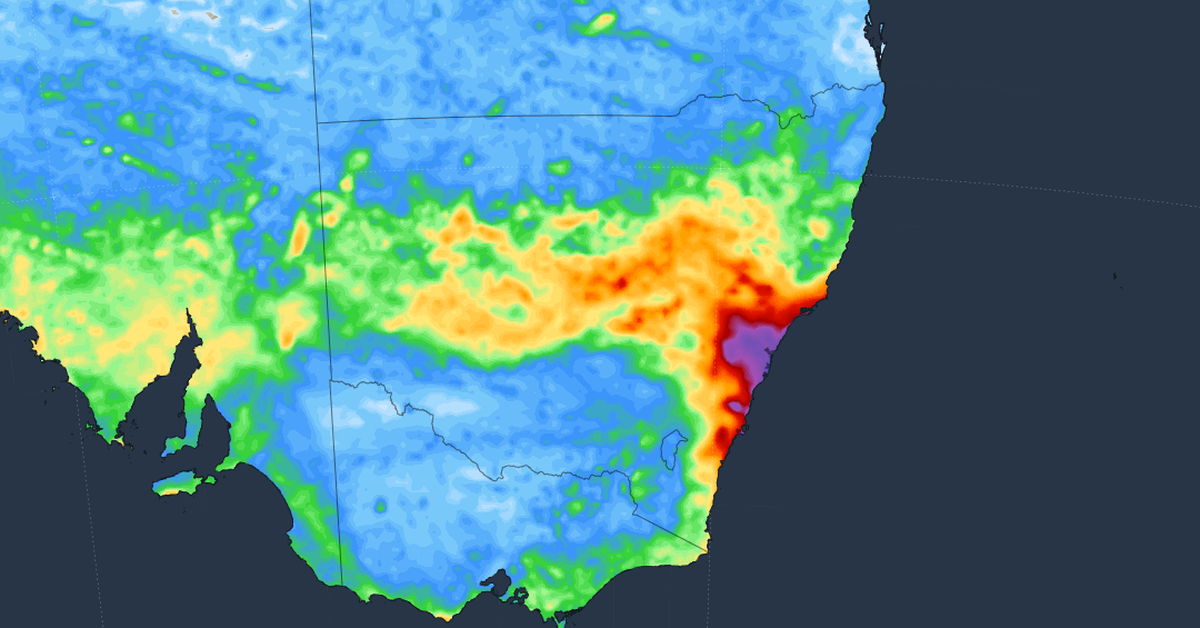
Australia is preparing for a week of cold and wet weather, particularly along the east coast, where heavy rainfall is expected. A cold blast from the Southern Ocean is sweeping across the country, bringing strong winds and significant precipitation to regions in New South Wales, including Sydney.
Forecasts suggest that Sydney could experience up to 40mm of rain on Thursday and again on Saturday. Coastal regions within the state are predicted to receive even heavier rainfall, potentially accumulating up to 100mm. The State Emergency Service (SES) has cautioned that parts of the Hunter, Mid North Coast, and Northern Rivers could see daily rainfall totals between 50mm and 100mm, along with gusts of wind surpassing 90km/h.
Moreover, snowfall may occur in areas above 1000 metres in both the central and northern ranges. In contrast, Melbourne’s weather will remain relatively mild, with temperatures not expected to exceed 16°C.
SES Assistant Commissioner Nicole Hogan has urged residents, especially those in coastal areas, to remain vigilant and aware of the risks associated with wild weather. With local catchments already saturated from previous rains, there is a heightened risk of flash flooding and river surges due to the incoming rainfall.
Hogan advised communities to plan ahead for severe weather impacts. She emphasised the importance of having strategies in place for potential evacuation or other emergency responses should the weather turn dangerous.
Authorities are closely monitoring the situation as they prepare for the stormy conditions expected to hit this week.