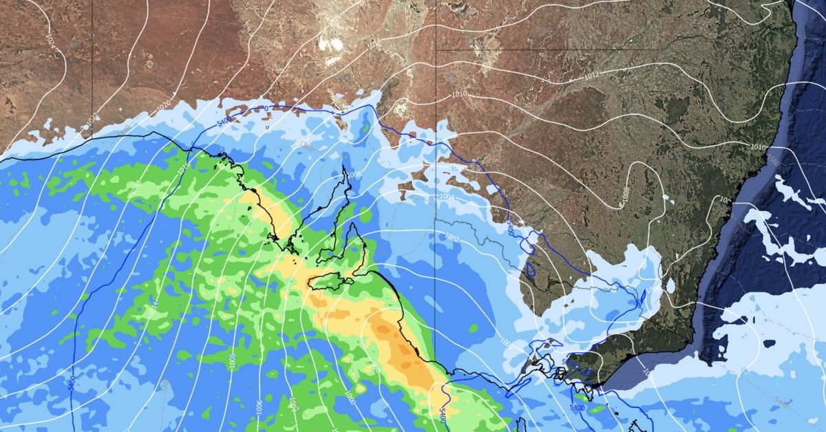
Australia’s alpine areas are poised for a snowy week as polar air masses usher in cold fronts across the southern regions of the country. Following recent brisk weather, including winds exceeding 100 km/h and heavy showers in south-west Western Australia, a new cold front is on its way to impact South Australia and parts of the south-east today, according to the Bureau of Meteorology.
This current front promises snow, particularly in alpine Victoria, while lower areas may experience strong winds and rain. Weatherzone has indicated that an even stronger front will reach the south-east imminently, bringing frigid and blustery conditions.
Adelaide is likely to feel the brunt of this weather, with predicted highs of just 13 to 14 degrees Celsius later this week. There is even a chance of snow in South Australia’s Flinders Ranges on Wednesday, provided there’s enough moisture in the air, with potentially a few snowflakes gracing the summit of Mount Lofty, only a short drive from the city.
Weather forecasts suggest that the most significant snowfall will occur in the alpine regions of New South Wales and Victoria, particularly on Thursday. Snow accumulation in these areas could range from 20 cm to 40 cm, with lower elevations, such as the NSW Central Tablelands, also potentially receiving snowfall. In contrast, temperatures will vary across major cities; Melbourne may reach a maximum of 12 degrees, while Sydney is expected to hit 17 degrees and Canberra only 8 degrees. The capital is forecasted to experience minimum temperatures below zero in the coming days.
While conditions are expected to improve towards the weekend, there’s a warning for another possible surge of polar air next week, indicating that winter is far from over in the south-east.