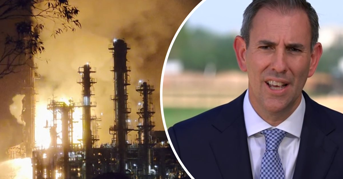
Despite a recent fire at the Viva Energy oil refinery in Geelong, petrol prices in Australia are expected to continue their downward trend, potentially dipping below $2 per litre over the weekend. This optimistic projection comes even as concerns about fuel supply were initially raised following the incident. Prime Minister Anthony Albanese visited the site and confirmed that the fire has only limited production impact, with 80% of diesel and aviation fuel production continuing.
Experts suggest that the situation is stabilising, with imports set to compensate for any deficits and petrol reserves nearing a 40-day supply. However, Treasurer Jim Chalmers cautioned that while a recession may be avoided, Australia faces risks of significant economic slowdown due to external conflicts affecting global markets. He also highlighted the necessity for further measures to secure Australia’s fuel supply in the future.
Calls for action have emerged from various political leaders. Queensland Premier David Crisafulli has urged the establishment of a third oil refinery in Gladstone, while Opposition Leader Angus Taylor advocates for increased domestic oil production. Taylor emphasised the need for Australia to “drill, drill, drill” to bolster its oil security and avoid similar vulnerabilities in the future.
As the government prepares for the upcoming budget, the implications of these developments on the economy remain uncertain. While the current fuel supply appears to be improving, the potential long-term economic consequences are a significant concern for officials.