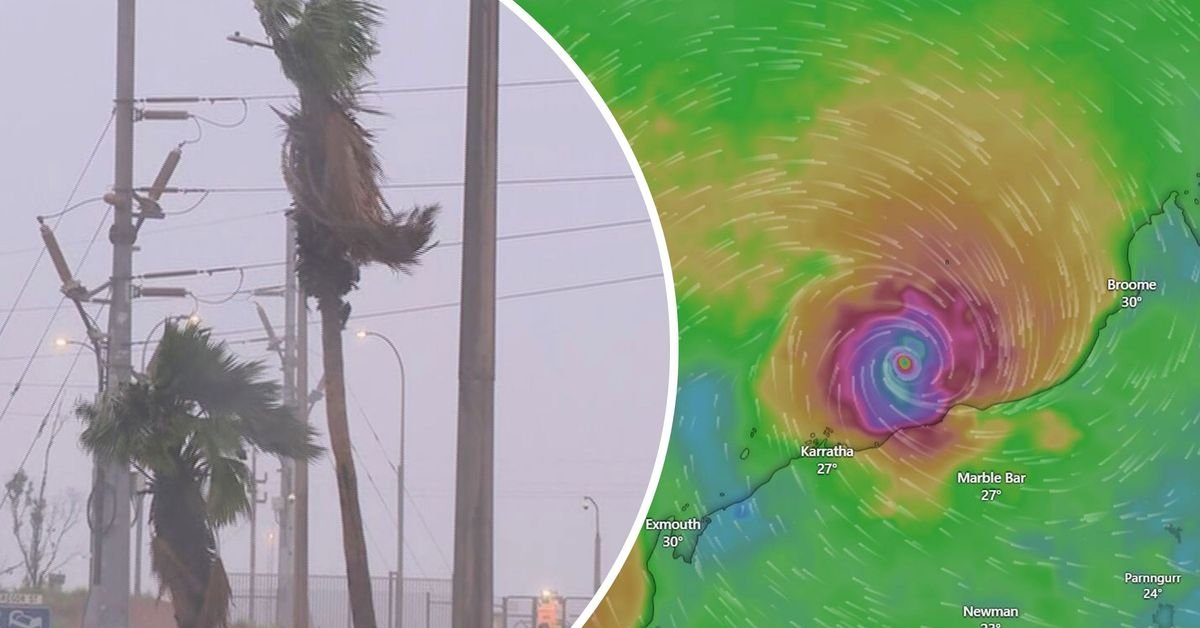
Residents and emergency services in Western Australia are bracing for the impacts of Tropical Cyclone Zelia, which has intensified to a category five storm. The Bureau of Meteorology forecasts it will make landfall between Karratha and De Grey tomorrow evening, bringing winds up to 320 km/h and potentially 500mm of rain, which could result in dangerous flash flooding.
Destructive winds are expected to affect coastal communities from tomorrow morning. Currently, Zelia is positioned roughly 130 kilometres north-north-west of Port Hedland. Authorities emphasise that there is a significant risk to lives and property, urging compliance with emergency service directives.
Preparations include the closure of major retail outlets, 12 schools, and regional airports, with significant operations at Australia’s iron ore hub being halted by companies like Rio Tinto and BHP. A dangerous storm surge is anticipated to accompany the cyclone, with flooding risks prompting road closures and warnings about potential isolation of some communities.
Emergency services have issued over 40,000 alerts to residents and opened evacuation centres in South Hedland and Karratha. Additional resources, including aircraft and flood boats, are being mobilised to ensure preparedness for post-cyclone operations and rescues. The community is advised to stay vigilant and ready to evacuate if necessary as the cyclone approaches.