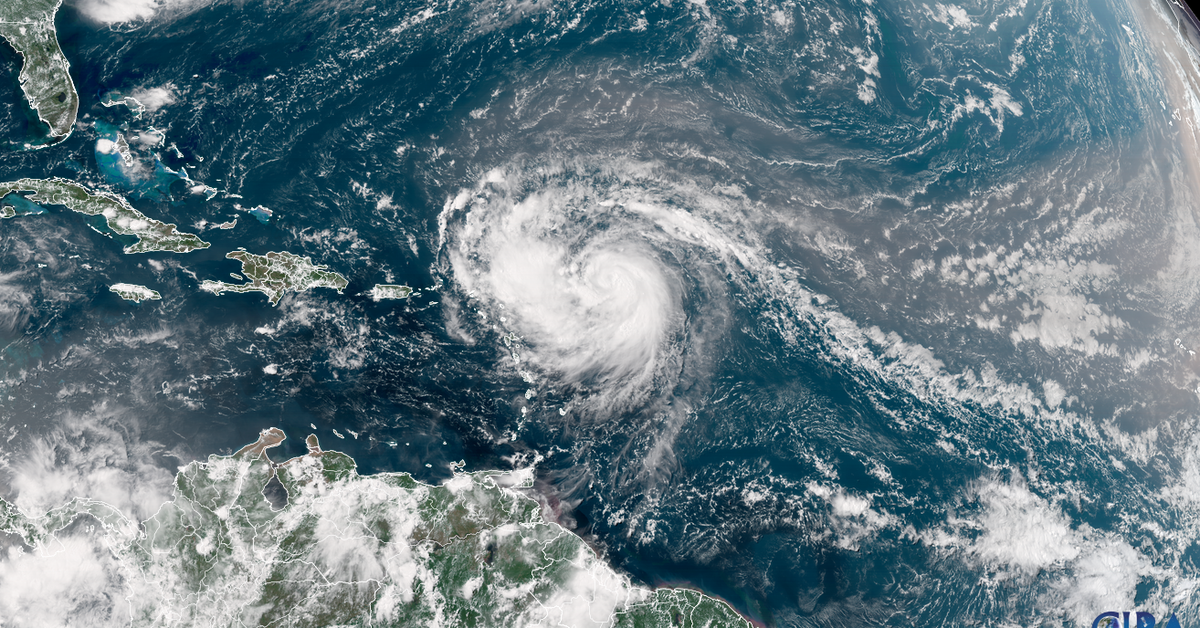
Hurricane Erin has rapidly intensified into a rare Category 5 storm in the Atlantic, demonstrating an alarming trend linked to global warming. Within just over 24 hours, Erin escalated from a Category 1 hurricane with winds of 120 km/h to one reaching nearly 257 km/h. This swift transformation marks it as one of the most rapidly strengthening hurricanes on record, particularly unusual for this time of year when such extreme intensification typically occurs later in the season.
The phenomenon of rapid intensification is defined as a hurricane increasing its wind speed by at least 56 km/h within a 24-hour period. Although this type of intensification frequently happens in September and October, an increase in occurrences has been noted recently, likely due to rising ocean temperatures driven by fossil fuel emissions and climate change.
Erin now stands as one of only 43 Atlantic hurricanes recorded at Category 5 status, with 11 such storms occurring since 2016—a number that reflects a growing trend in storm severity. Notably, it is rare for a Category 5 hurricane to form this early in the season and particularly outside the Gulf of Mexico.
As Erin continues its path, it is expected to circumvent direct landfalls while passing north of Puerto Rico and other Caribbean islands. Despite avoiding a direct hit, areas such as the Leeward Islands and the Virgin Islands are under tropical alerts due to anticipated strong winds and rain, with forecasts predicting rainfall of 5 to 10 cm and possible flash flooding in lower-lying areas.
The storm is likely to strengthen further due to warmer Atlantic waters, with predictions suggesting that its wind field could double or triple in size next week, creating dangerous surf conditions along the East Coast of the United States. The Coast Guard has already implemented restrictions on vessel traffic in anticipation of the hurricane’s impact.
As Erin advances, fluctuations in intensity are expected, but the storm is predicted to maintain its Category 5 status until at least Monday before beginning to weaken. This season had seen other systems before Erin, but none reached hurricane strength until now. The historic patterns suggest that the period from mid-August to mid-October will be the peak of hurricane activity, and forecasters anticipate above-average tropical activity as the season progresses.
Overall, Hurricane Erin serves as a sobering reminder of the increasing severity of storms in a warming world, with ongoing monitoring and proactive measures crucial as the hurricane season continues.