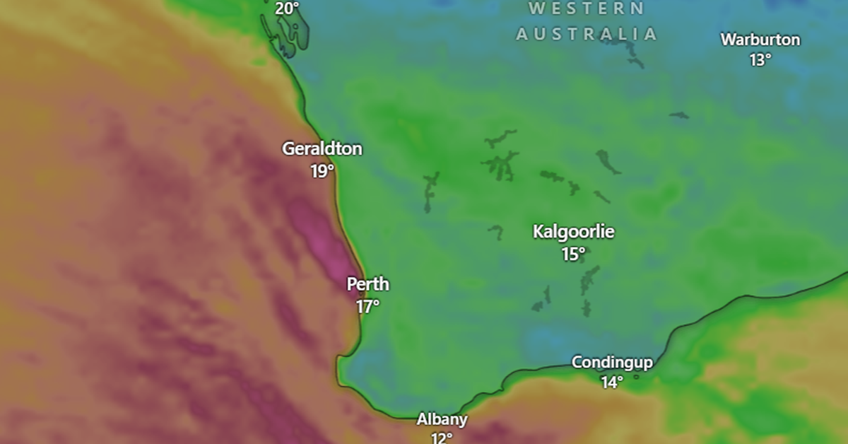
A sequence of potent cold fronts is affecting Western Australia’s far south-west this week, delivering damaging winds and intermittent rain. The Bureau of Meteorology’s senior meteorologist Angus Hines reported that the first front swept through the region, including Perth, on Sunday afternoon.
Wind speeds reached up to 119 km/h in some areas, although Perth experienced calmer conditions with gusts around 50 km/h. While the initial front brought rain, the totals were described as “reasonably modest” due to its swift passage, with rainfall measurements between 10mm and 25mm from Geraldton to Esperance, and up to 40mm in the Eastern Hills south of Perth.
A second cold front was anticipated to follow shortly after, arriving this morning. By 5am AWST, this second front was positioned just off the coast and is expected to generate winds between 90 km/h and 100 km/h across the south-west, diminishing overnight. There is a potential for another short burst of rainfall; however, authorities do not foresee any severe warnings at this time.
Forecasters are also monitoring the chance of strong swells caused by the winds. By tomorrow, the fronts are expected to proceed, moving on and impacting South Australia, Victoria, and Tasmania with similar damaging winds and brief rain.