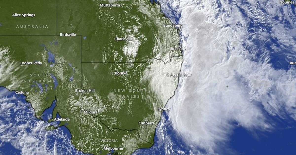
The Bureau of Meteorology has issued a warning for residents in New South Wales (NSW) as severe weather is expected to affect millions across the region. Anticipated conditions include heavy rainfall of up to 200mm, strong winds, hazardous surf, and coastal erosion, particularly along the mid-north coast from Coffs Harbour to Bega, impacting Sydney with the most significant wet conditions seen since 2022.
This upcoming weather phenomenon, known as explosive cyclogenesis, is intensifying off the NSW Mid North Coast, leading to an east coast low that brings rapid changes in weather patterns. Factors contributing to the severity include elevated sea surface temperatures, a blocking high-pressure system, and air temperature instability, along with an upper trough over the Great Dividing Range.
State Emergency Service (SES) authorities have highlighted that some areas will experience more intense rain and winds. With personnel and resources redeployed to regions such as Kiama and Taree, residents are urged to prepare for possible cyclonic conditions. SES Deputy Commissioner Debbie Platz stressed the importance of vigilance and preparation, announcing the potential for thunderstorms, heavy rain, and beach erosion.
Forecasters predict that 50-120mm of rain will likely fall across the coastline, with isolated areas possibly receiving 150-200mm. For Sydney, heavy downpours are expected to peak tomorrow, resulting in a potential total rainfall of 140mm. To mitigate damage, residents should ensure their properties are ready, including clearing gutters, securing loose items, and relocating vehicles away from large trees.
The weather system’s impact is expected to escalate tonight, with the most severe conditions hitting by Tuesday and potentially lingering until Friday, though easing may occur by Thursday. Residents are advised to monitor updates through the Bureau of Meteorology and SES websites for crucial information and safety recommendations to navigate these hazardous weather conditions effectively.